The Aller is a 211 km long river in the states of Saxony-Anhalt and Lower Saxony in Germany. It is a tributary of the River Weser. The Aller was extensively straightened, widened and partly dyked during the 1960s to install flood control of the river. All those manmade measures limit the rivers natural flow and disturb it as an ecosystem. Nevertheless there are areas where the river still meanders in its natural river bed and those parts need to be taken care of.
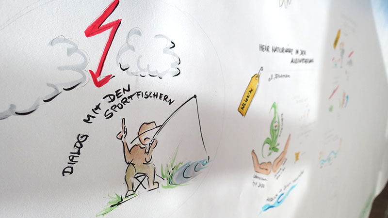
The area has the potential for user conflicts, especially if conservation needs to be realized. Hobby fisher, boat owner and farmers along the river fear to lose their rights of use.
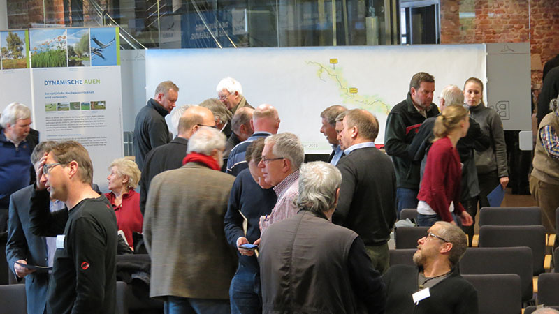
During a stakeholder workshop on the 10th of December 2015 in Rethem (Aller), the NABU and other initiators invited stakeholders to discuss about the future of the river from Verden to Celle. Following a general overview of the situation, the participants were divided into three groups: tourism, water management and land use. It is highly important to involve the residents in an early stage to avoid misunderstanding and conflicts over resources.
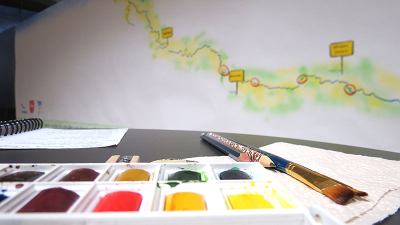
All three groups had a similar large poster to locate their thoughts, fears, critics on the map that was prepared for them. For the workshops documentation and for all participants, the results of the three were summarized in pictures of a similar looking bigger size map.
The outcome of this first brainstorming workshop is illustrated in a graphic recording done by Greeneducation4all. Graphic facilitation compared to graphic recording wants to document processes. As the example show, the group work was combined and summed up. For later workshops the documentation poster can be used again and will show easily where to continue at.